Surveying
The following photos show the first surveying the team made on November 16, 2013. The surrounding area around Oak Creek was surveyed. This includes the slope up to 89-A, the banks of Oak Creek, and approximately 200 feet in both directions along the river.
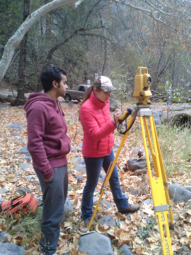
Fawaz and Hilary helping set up the total station
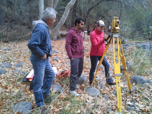
Bruce, Fawaz, and Hilary helping each other out
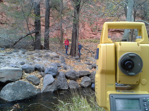
The view from the total station. The team is surveying the slope that reaches from 89-A to the bank of Oak Creek
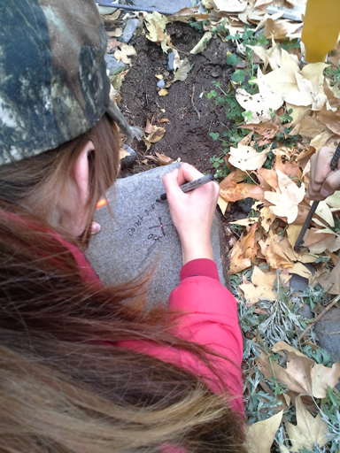
Hilary marking the large rock used to designate the group's OCC
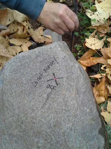
Using a large, heavy rock to mark the group's OCC
The photos below were taken from the group's final land surveying trip on February 1, 2014.
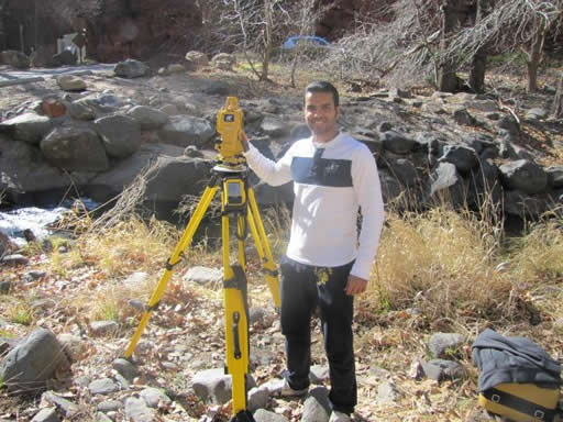
Fawaz working the total station at the project site
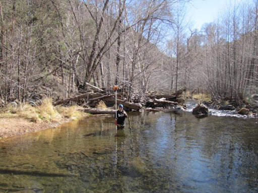
Devin surveying the scour hole downstream from the crossing
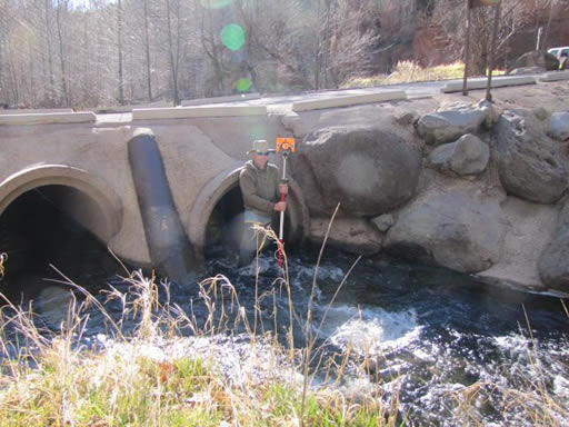
Bruce surveying upstream near the crossing's culverts
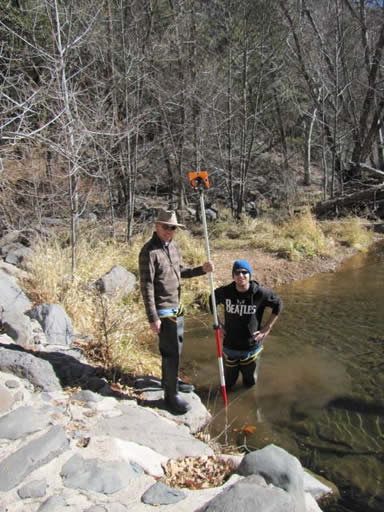
Bruce and Devin taking turns surveying the scour hole
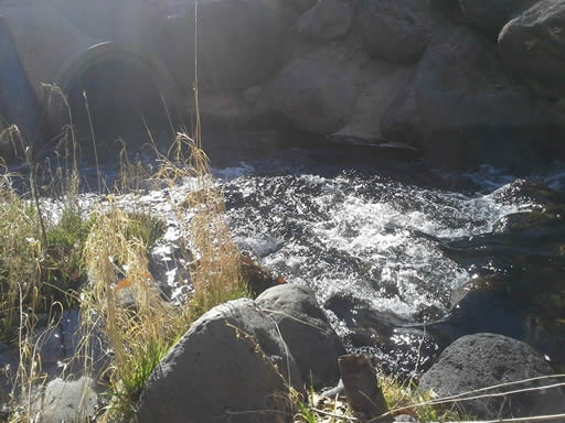
The turbulence that occurs before Oak Creek traverses the crossing's culverts
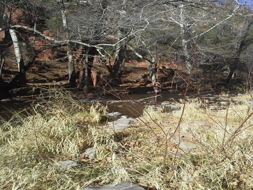
Bruce surveying upstream from the culvert